Canberra to Gold Coast Road Trip

It’s not until you drive around Australia that you truly appreciate how big it is, and since we’d never taken them further afield than Melbourne we decided the kids needed a school holiday road trip to help them get a better sense of scale.

The plan was to go up the coastline to the Gold Coast, spend a few days there to warm up, then drive back down through central NSW. By spacing our stops to spend only a few hours in the car each day, we hoped to have time to see a few things along the way.

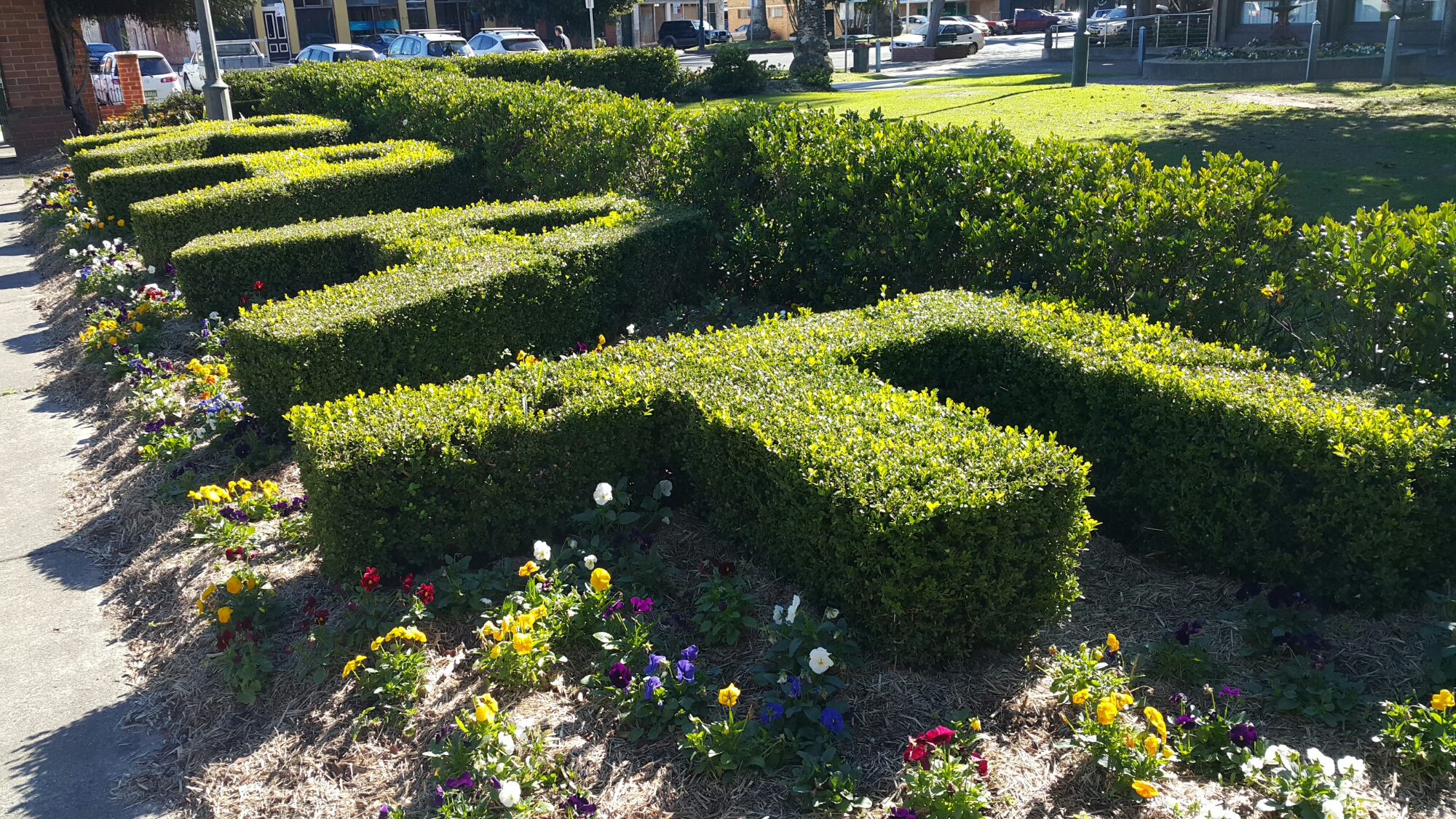
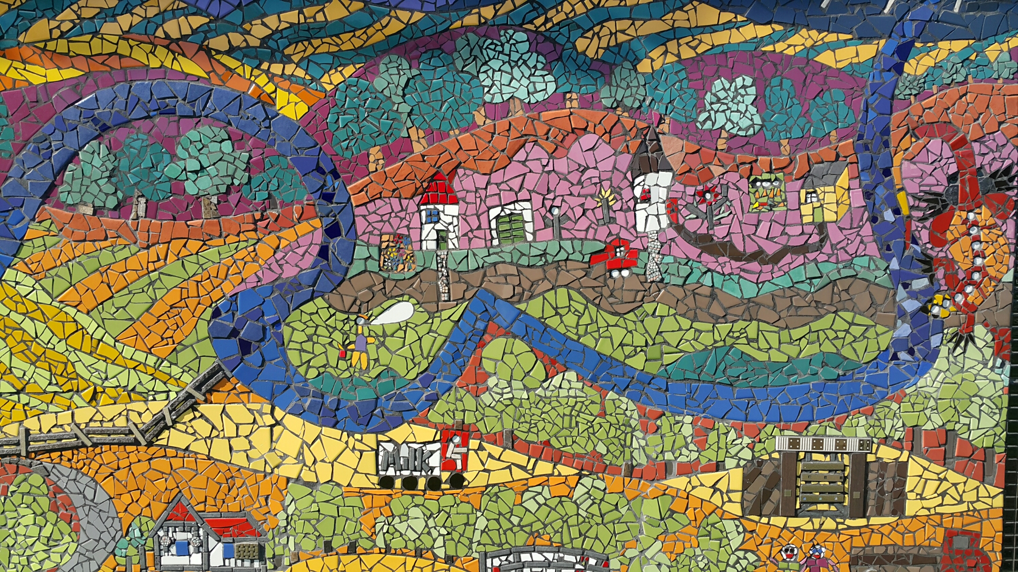
For most days, follow the link to another blog post to see what we got up to, but I’ve included a few highlights here, too.

Day 1: Canberra to Newcastle, where we experienced a rather nice sunset:

https://instagram.com/p/4vs_kaum_V/?taken-by=davinfifield


Day 2: Newcastle to Port Macquarie, including the picturesque Ellenborough Falls:

https://instagram.com/p/4vtgstum_-/?taken-by=davinfifield


Day 3: Port Macquarie to Coffs Harbour, via Dorrigo National Park:

https://instagram.com/p/4yfcR1Omyv/?taken-by=davinfifield


Day 4: Coffs Harbour to Gold Coast, stopping at Woodburn on the Richmond River for lunch:

https://instagram.com/p/409ksoOmz3/?taken-by=davinfifield


Days 5, 6 and 7 in the Gold Coast were mostly unremarkable touristy stuff: a day at Dreamworld, a couple of games of putt-putt golf, rides on electric tandems, a trip up SkyPoint, watching Inside Out, and playing some tennis in between afternoon rain showers. On the bike ride, we spied this guy doing a water jetpack ride. https://instagram.com/p/4_Nu8cum_C/?taken-by=davinfifield


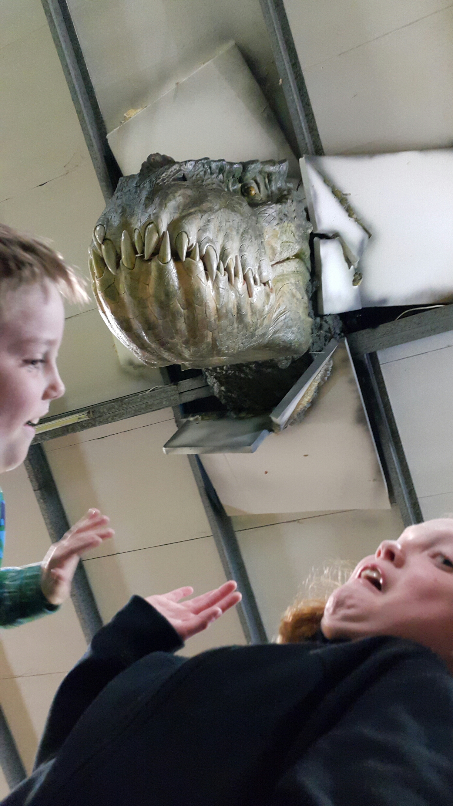
King Tutts Putt Putt in Surfers Paradise is actually pretty cool (and 2 of the 3 themed courses are indoor). This overly staged shot was the best I could manage to get both the kids and the dinosaur bursting through the roof in frame.

wpid-20150708_204101.jpg

Day 8 was from the Gold Coast to Glen Innes. We’d had nice warm weather for the past several days, but a major cold front working it’s way up from Antarctica had a major impact on the rest of our trip. We managed to stop in briefly at a couple of parking spots close to the Gwydir Highway as it picturesquely winds its way through Gibraltar Range National Park, including at this nice little waterfall:

https://instagram.com/p/4_Qq2XOmyF/?taken-by=davinfifield


The Celtic Standing Stones in Glen Innes were a bit of a disappointment (it didn’t help that it was now about 5 degrees outside) so we quickly headed from there to the motel. We had very nice Thai meal on the main street. It seems like Glen Innes has been through some tough times, but could be on the up again.

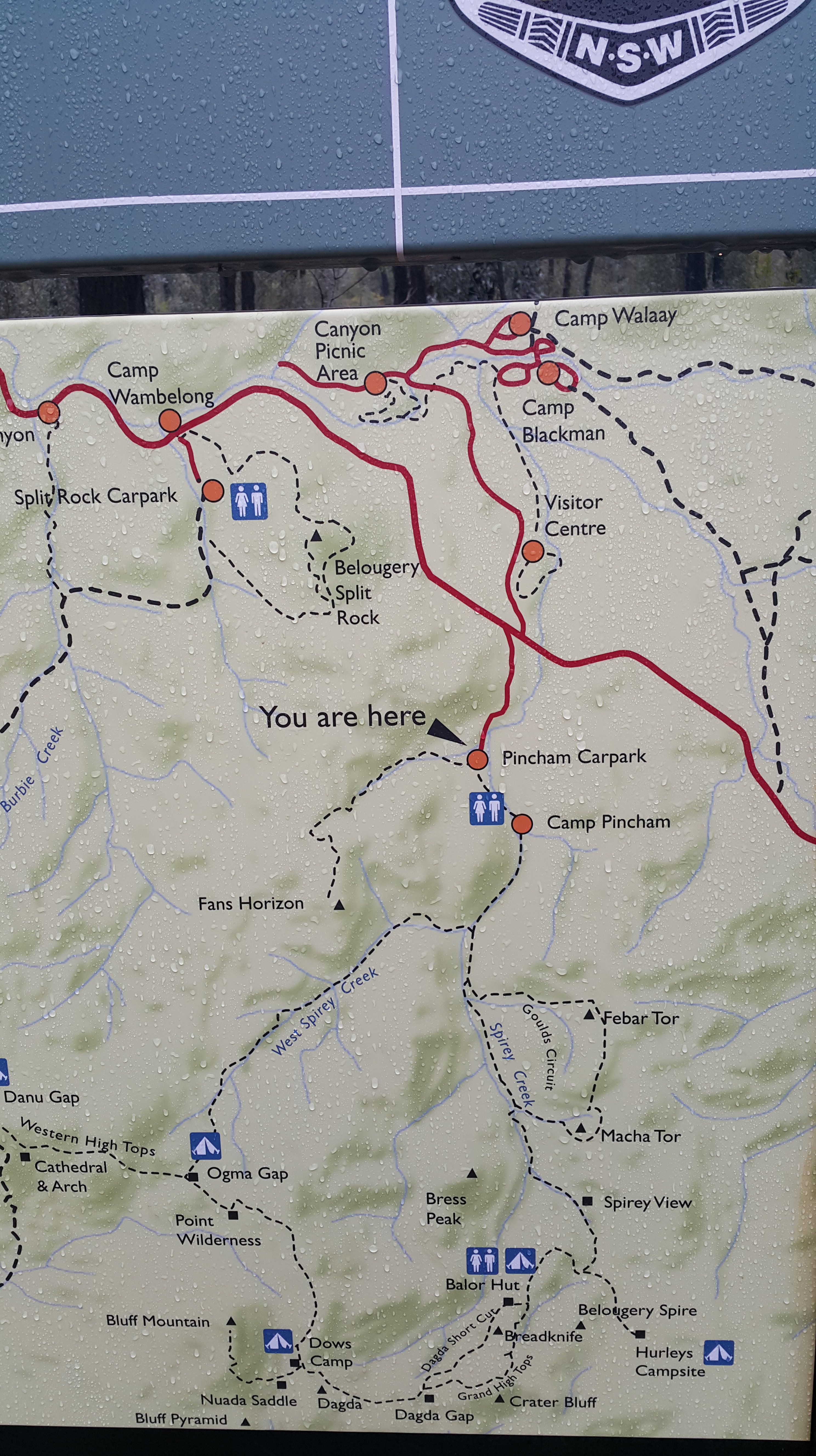
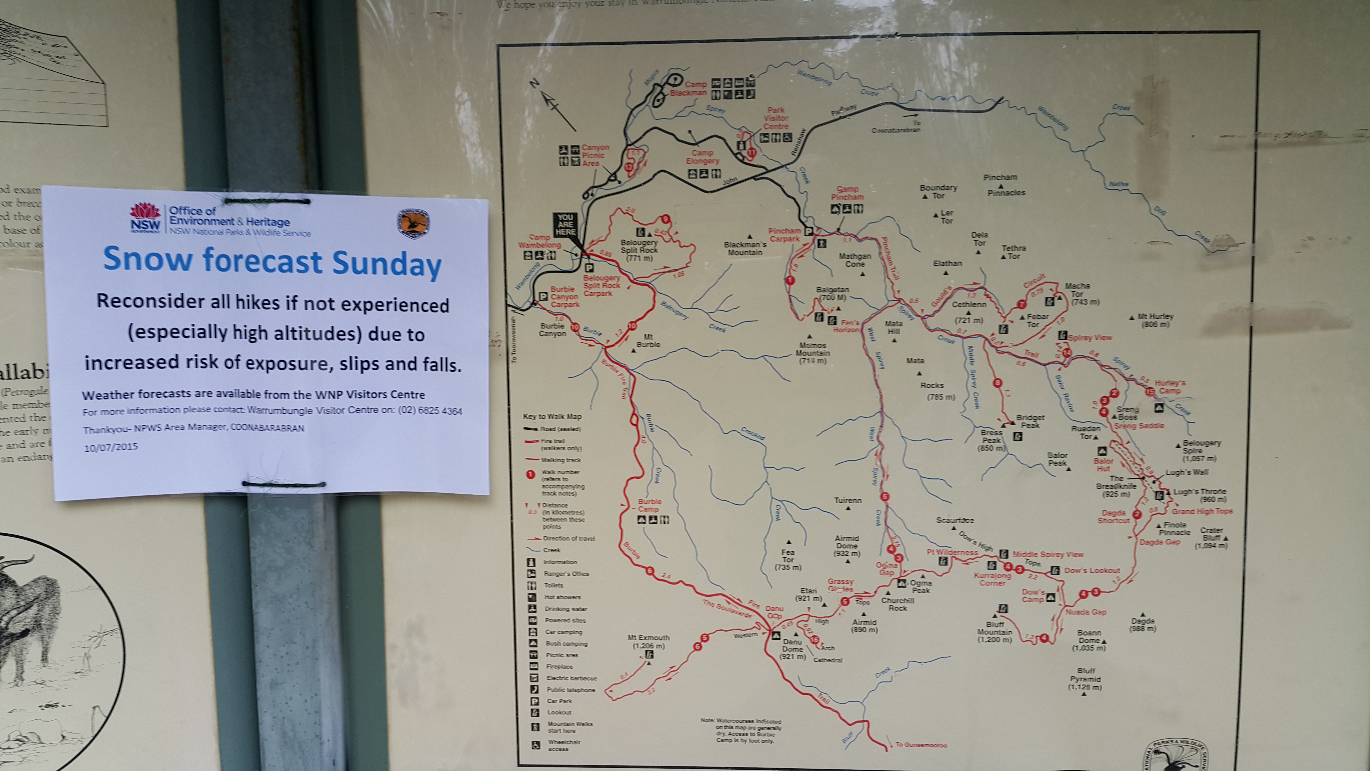
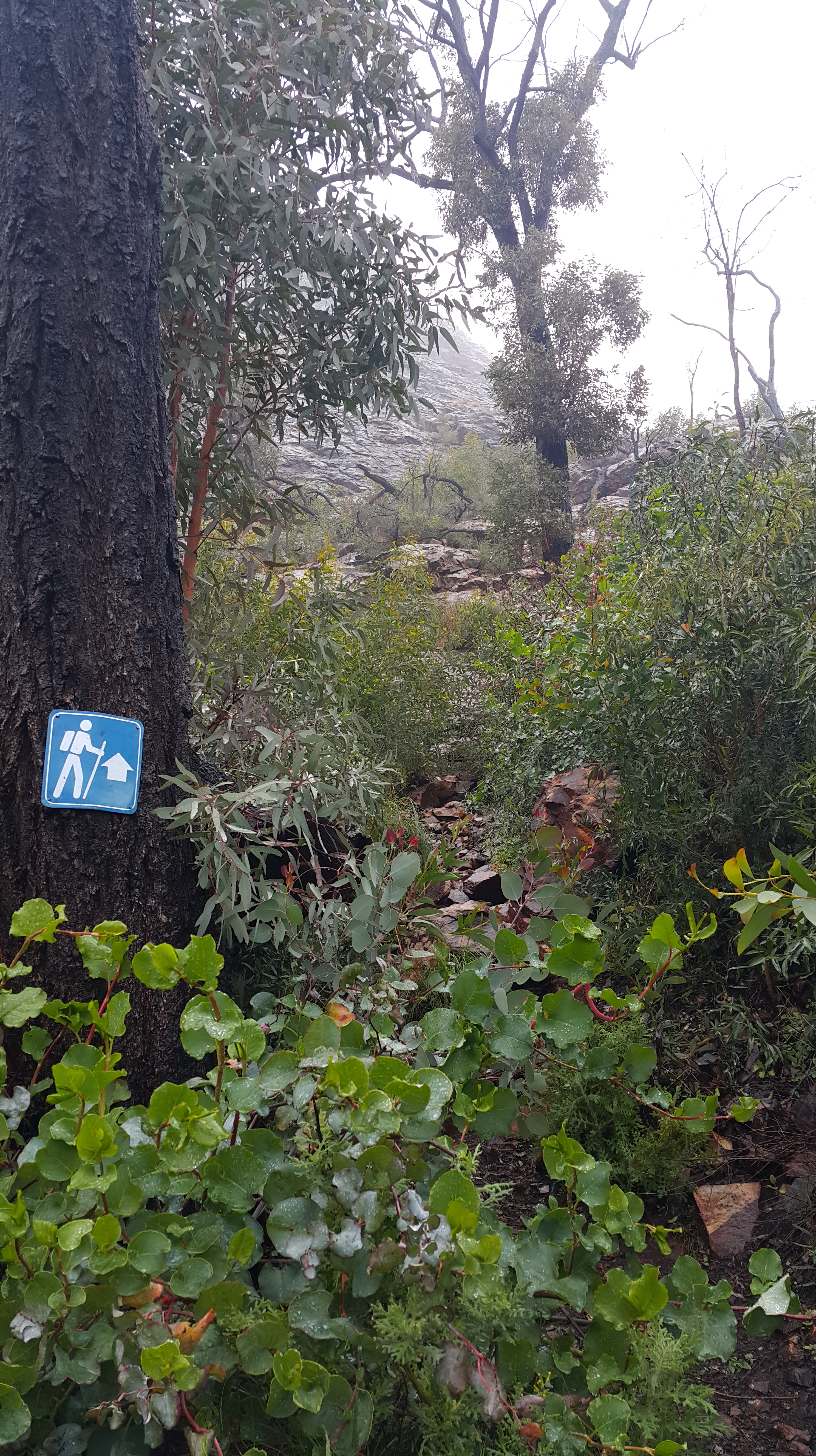
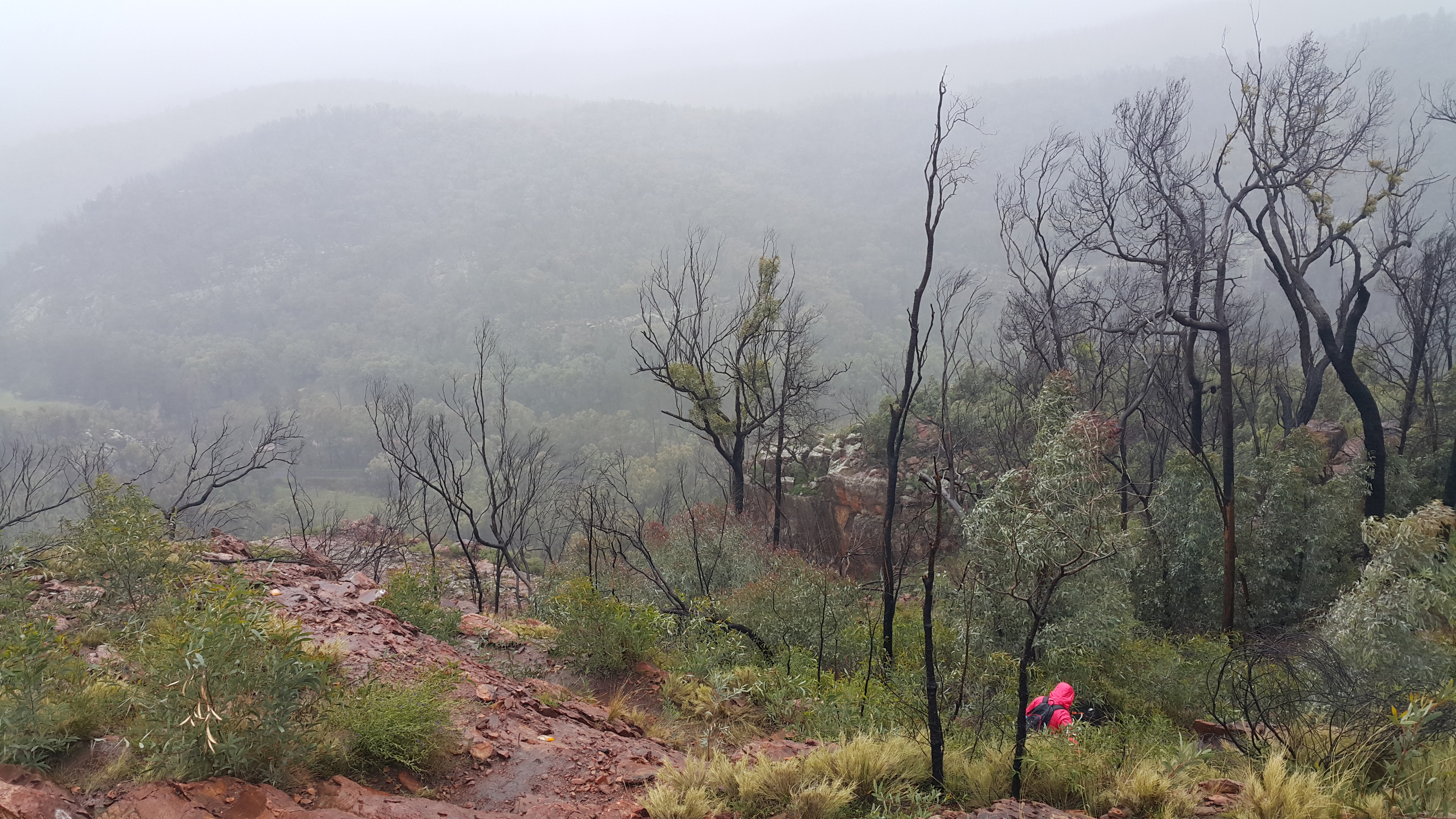
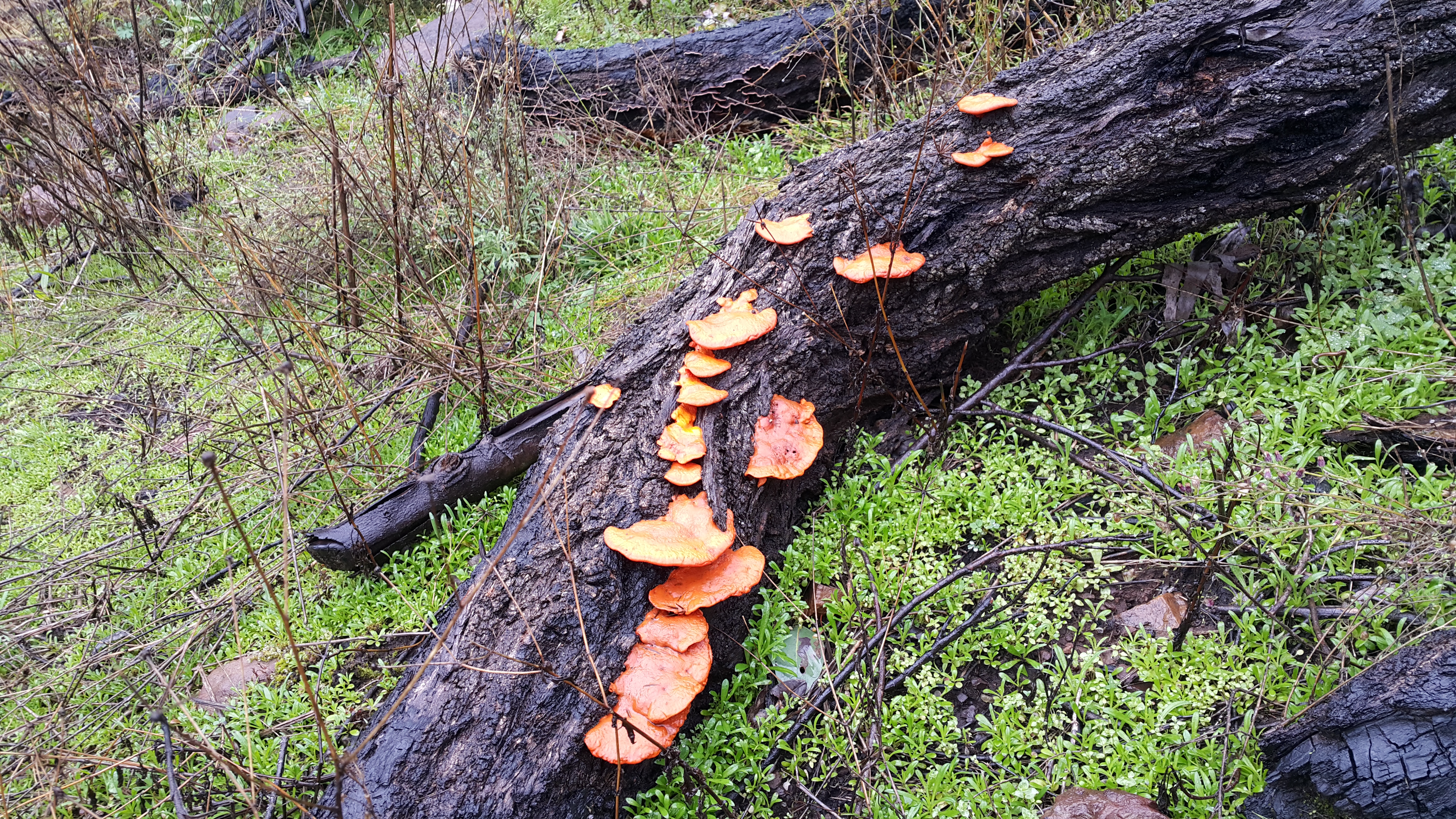
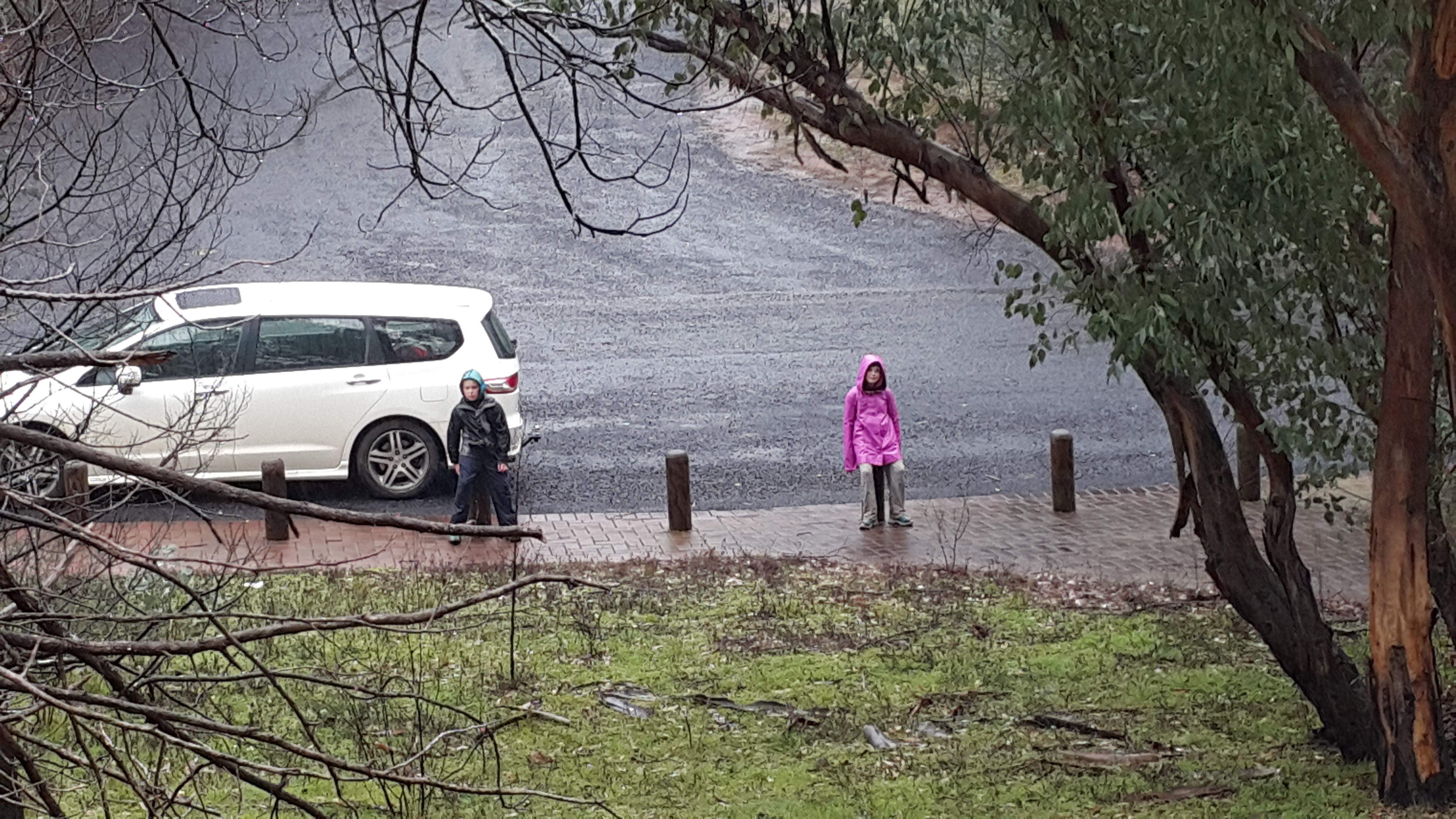
The plan for Day 9 was to get to Coonabarabran so we could hike in the Warrambungles the next day. We woke to snow in Glen Innes, and encountered lots of travelers frolicking in it along the side of the road in a few places. Having experienced “proper” snow plenty of times before, the kids didn’t seem so inclined. We stopped in Armidale for an early-ish lunch, after enjoying the nice little New England Regional Art Museum, which had Louise Hawson’s intriguing 52 suburbs around the world on display. Several hours of driving later along mostly back roads, after making sure we had enough food to make our dinner and lunches the following day, we arrived at the Warrambungles Mountain Motel.

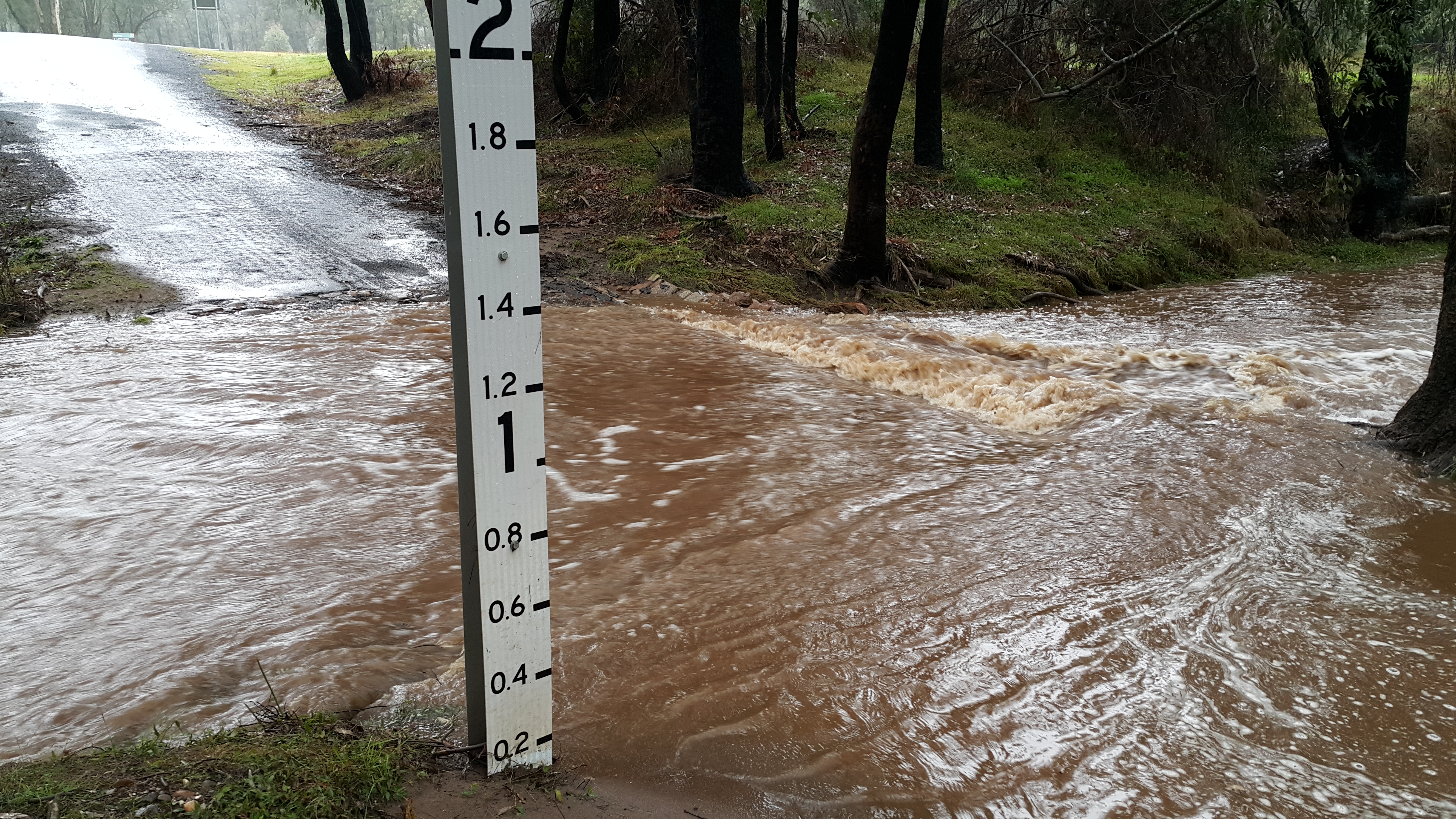
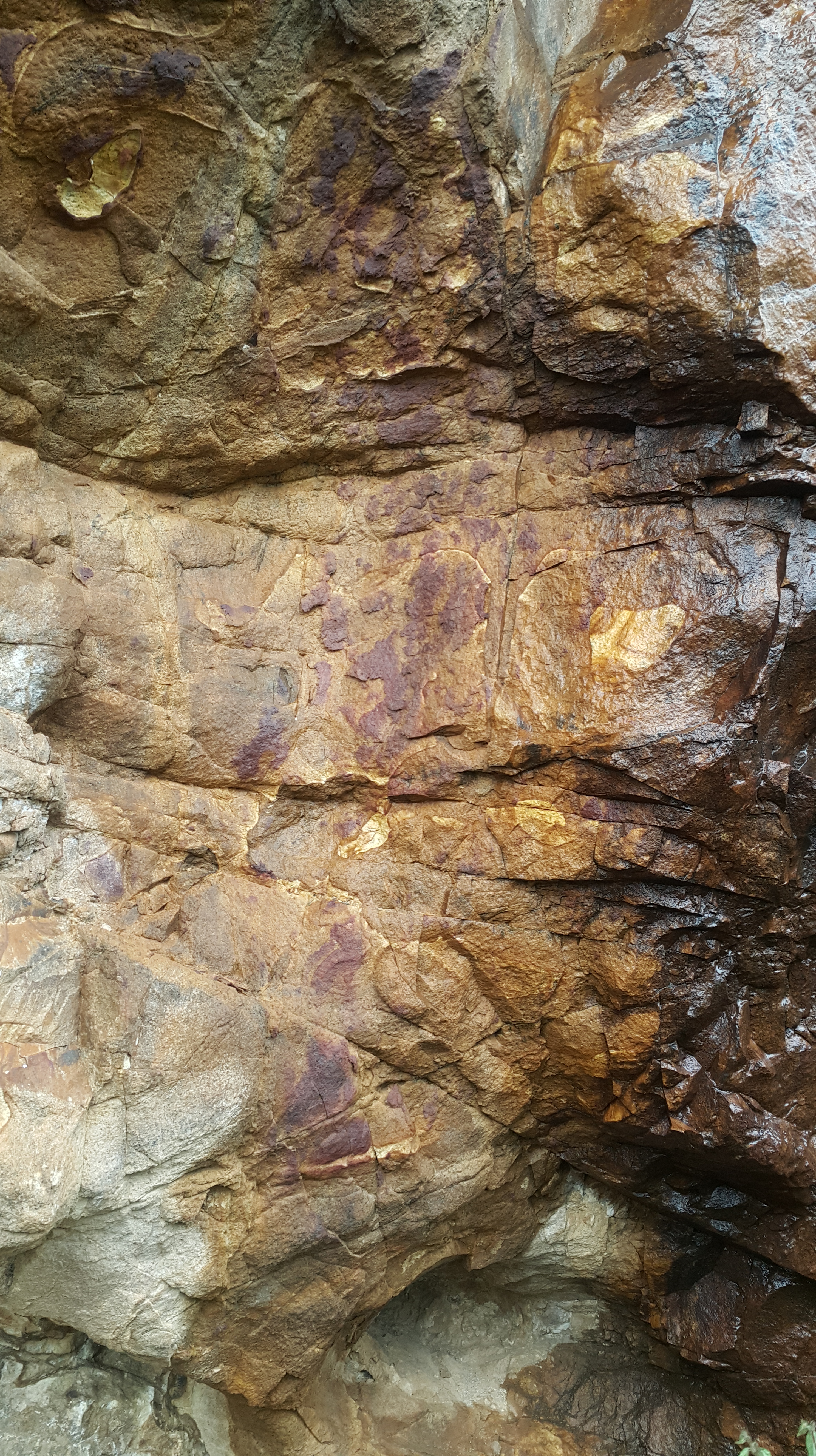
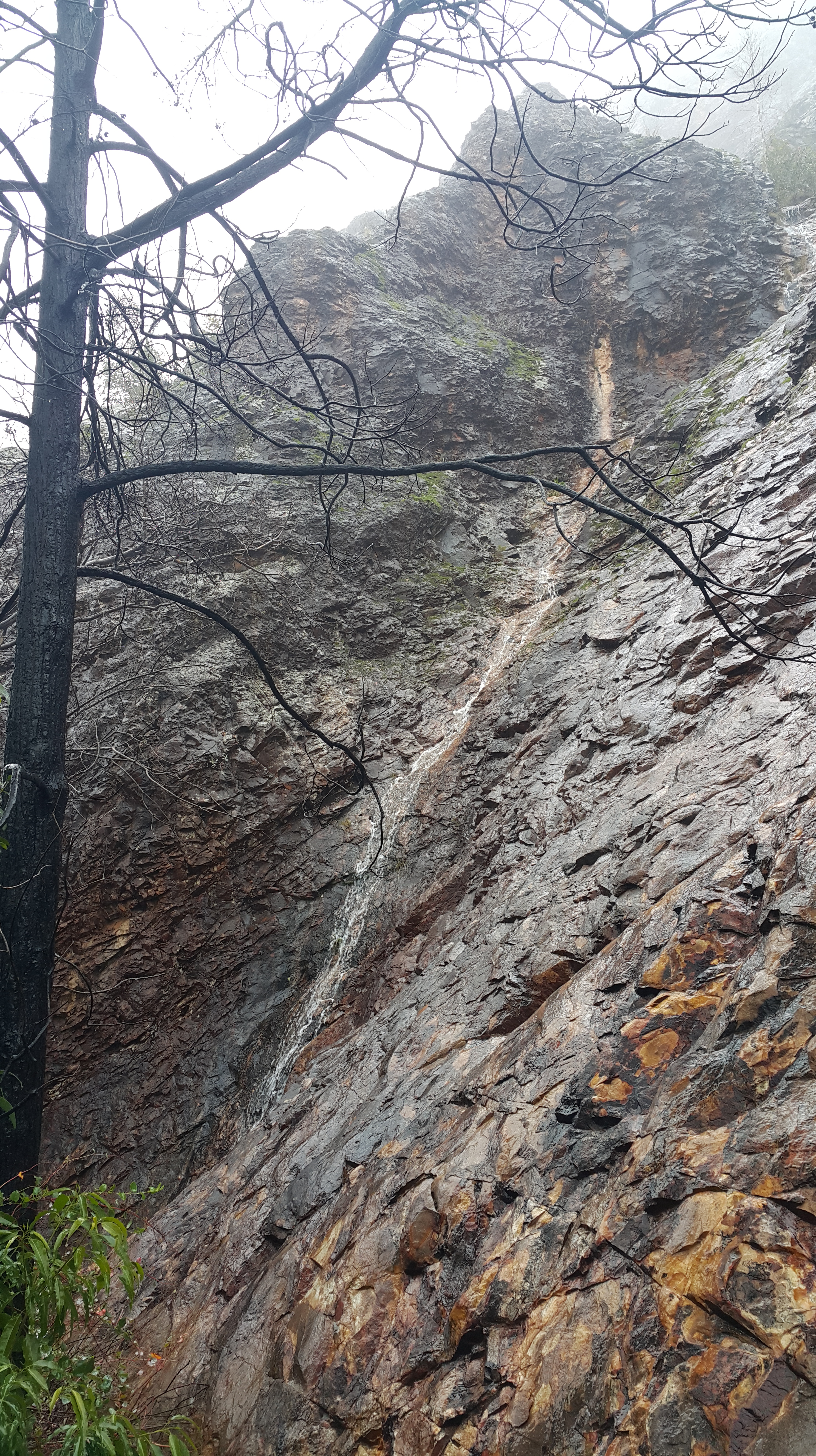
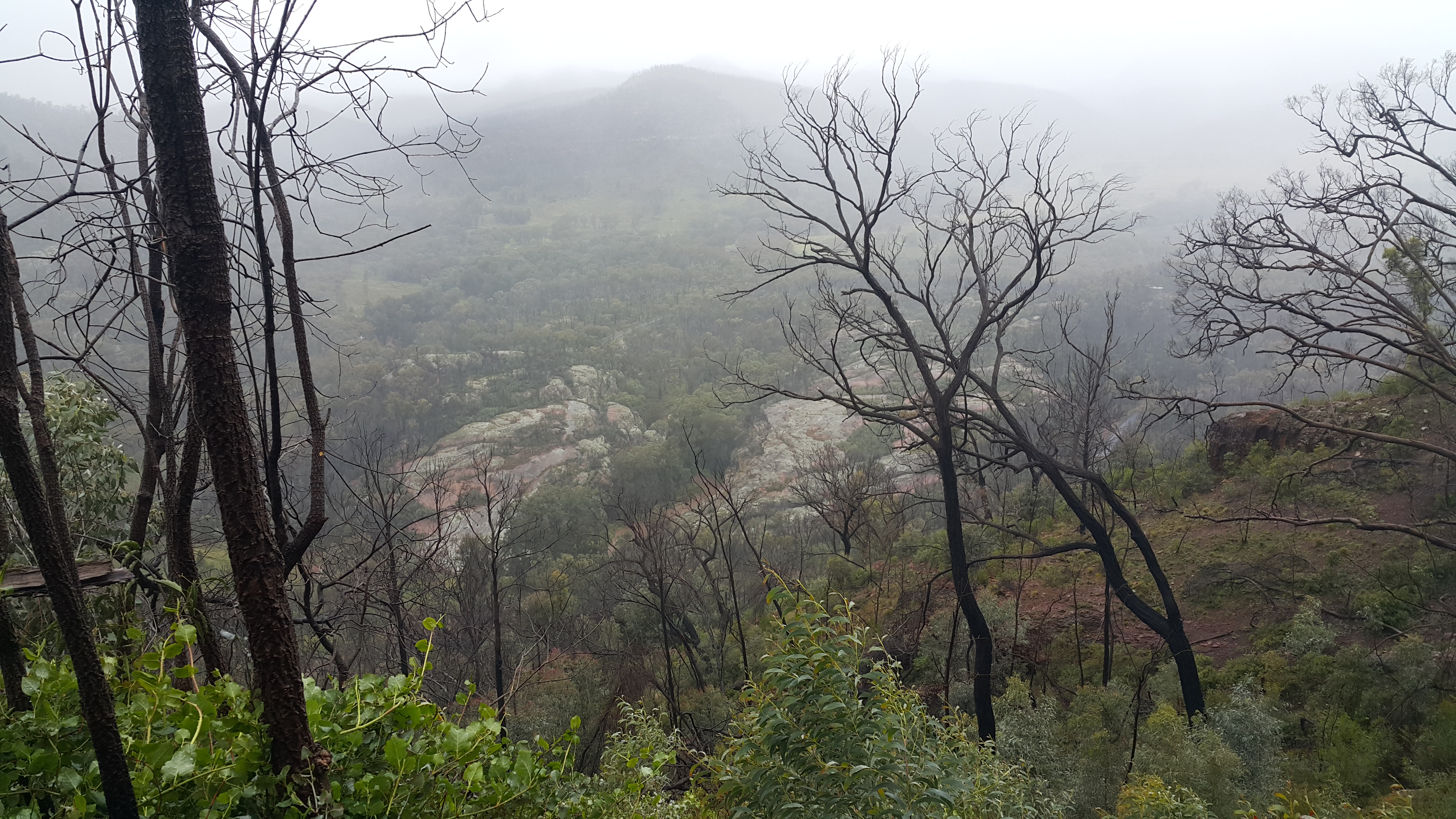
Day 10: Coonabarabran to Mudgee didn’t go at all according to plan. Featured instagram shot:

https://instagram.com/p/5ES-rwOm3C/?taken-by=davinfifield


On our last day, number 11, we drove back to Canberra via Bathurst, where we visited the excellent Australian Fossil and Mineral museum. It is quite small, but the minerals in particular are very well curated. It is well worth the $30 family entry fee.

image
An interesting temporary exhibit covered the yet-to-be-concluded unearthing and recovery of a new Icthyosaur by a family that fossil-hunts for a hobby. They discovered it while searching in a public fossicking site!

All in all, we had a varied and interesting trip; and the main objective was met: the kids now have a much better idea how big Australia really is.


Coffs Harbour to Gold Coast

Coffs Harbor by day was no more impressive than it was the previous evening.

Stopping as briefly as possible at the Big Banana on the way out of town (under protest from the driver), we headed towards Grafton. Our only real plan for the day was to go to the Easternmost point of Australia at the Byron Bay lighthouse.

We ended up having a big morning tea in Grafton – which is a very picturesque historical town right on the wide Clarence River. Memorial Park was a perfect spot to sit and look out across the river as we munched on our custard tarts and rock cakes.

wpid-20150707_105057.jpg

Clarence River at Grafton

I thought this tree looked a bit whomping willow-ish.

From Grafton, we took Scenic Route 22 along the river via Lawrence, crossing the river on the pulley ferry. Very picturesque, small, but productive-looking properties fill out the landscape, growing mainly sugar cane, cows and horses. Then we got back on the highway, stopping for lunch in Woodburn, where we spied this wall mural at the park.

wpid-20150707_132501.jpg

There was a bad accident on the Pacific Highway just South of Broadwater, so we got a reprise of the scenic route along Riley’s Hill Rd, where an emu had somehow got between the sugar cane fields and the road, and was almost keeping up with the cars as it raced along in consternation.

In Byron Bay, we drove up to and around the lighthouse parking area, and spied it out the window, but we hadn’t left ourselves enough time to park down the bottom, and do the 4km roundtrip walk up and down the hill to get up close to the lighthouse and actually stand on the Easternmost point. There was also lots of traffic around, much of it coming into Byron at 4PM or so on a Friday afternoon, perhaps partly due to the Pirates of the Carribean filming that was apparently going on in the area.

We finished off the day by checking into our apartment at Xanadu in Main Beach, and heading out for a much needed walk to pick up groceries.

Canberra to Newcastle

The first day’s destination was Newcastle. Things didn’t start well, though! A flat battery threatened to derail our itinerary immediately. A jump start from a friendly neighbour got us on our way again, and we hoped that a nice long run up the highway would see us safely able to restart after our first pit-stop.

After a brief and tasty lunch at a Chinese restaurant in Pennant Hills, we made it to Newcastle mid afternoon, checked into the Executive Inn a few km outside the city center, then made our way into town.

I hadn’t been to Newcastle for a long time, and it is much nicer than I remember.

After driving along Wharf Rd where many new apartment complexes are clearly livening up the area, we parked, and walked out to the end of the breakwater past Nobbys Beach and Lighthouse. This is a popular jogging and walking spot, and I can see why. It was a calm evening, and we spied dolphins feeding in the swell off the end of the end of the breakwater, and got to witness a nice sunset over the industrial peninsula to the North as the fishing boats headed out.

image

We headed toward downtown to get some dinner. As the twilight settled in we climbed the Queens Wharf tower. Unfortunately the view from the tower’s observation deck of the city and the wharf itself are marred in the viewing by scratched in graffiti all over the glass. Newcastle Cathedral holds a dominant position in the city: it’s an imposing dark stone building hanging onto the steep-sided ridge that the city centre nestles against.

Across the nearby pedestrian bridge, we headed toward downtown to get some dinner. Since it was now dark were hoping to see the City Evolutions projected images on Watt St as we wandered in search of somewhere to eat. Unfortunately, they were missing in action, despite the web site proclaiming they were on every day. Presumably they mean every day in summer, not in the middle of the winter school holidays.

In the end we couldn’t find anywhere in the dead centre of town that met all our complicated dietary requirements, so we ended up back at Queens wharf where we had a delicious meal at 6 degrees. Vegetable pizza of pumpkin, pine nuts, fetta and spinach, kids schnitzel and grilled chicken meals, and a beef salad with fries.

 
Snapped the above photo of a very cool doorway on the way back, where there seemed to be some sort of reception taking place inside.

The car has started every time so far in the warmer coastal weather, so, hopefully the battery will be OK from here!

Coonabarabran to Mudgee

Heavy rain fell during the night, and we woke to a cold morning with low drizzly cloud hanging around the top of the gums. Repacking seemed to take longer than usual. We optimistically made a packed lunch to take on our planned walk around the Breadknife and Grand High Tops loop walk in Warrambungles National Park.

On the road towards the park visitor centre, the rain got heavier as we continued past the entrance to Siding Springs, thinking we would take a tour of the observatory on the way back from our walk. If nothing else, we thought, at least we could take a look at the visitor centre, pick up some maps, and decide on something that would be manageable despite the weather conspiring against us. Half way along the short road that turns off the main road towards the centre, we crossed a small creek that was decidedly swollen. The water was safely rushing through the large pipes of the white concrete ford. But a little further along we were thwarted by a lower crossing on the same creek, which didn’t seem to be so well-prepared. Although the gauge suggested there were only 10 centimeters or so of water flowing over the road, and despite the visitor centre being visible in the clearing on the other side, we didn’t feel at all confident that our low-slung 2WD Odyssey would make the trek across, and more particularly, back again should the creek rise further. It was becoming clear this was not going to be a day for a simple picturesque hike.

2015-07-13 10.11.53

Thinking we’d explore the observatory in the hope the weather might clear and the creek fall a bit, we headed back to the main road. But, since it was a 15km back and forth, and we noticed a nearby hiking car park sign a bit further along the road, we decided to explore there instead. Jackpot! It was the main car park for the walk we had planned to do. And the map promised a short loop walk around Gould’s Circuit, which even in the squally weather should be manageable.

2015-07-13 10.29.46

After getting our wet weather gear and back packs on, a couple of hundred meters along the track we discovered another creek blocked our way with muddy water sluicing down and over the only likely crossing spot. Despite N’s keenness to try to balance her way across either the peeking rocks or a slick-looking fallen tree branch, visions of fishing dirty, cold and soaking children out of the creek did not appeal, and I insisted we turn back.

But we were suited up now, and the map promised a nearby alternative, with no creeks, up to the Fans Horizon lookout. Alas, the trail was signposted as closed, due to instability caused by the recent-ish bushfire that had been through the area.

Refusing to be discouraged, since the Belougery Split Rock walk also looked like a creekless climb, we piled back in the car, and took the short drive further along the road to the next car park. This hike wasn’t signposted as closed, just with a warning for the previous day’s snowy conditions. We wouldn’t attempt the loop, though, since this showed creek crossings would be required on the way down the other side.

2015-07-13 11.59.25

Promising the family that we’d only go out in the elements for an hour or so, we started up the slope, with a further bargain of “we’ll turn around once we’ve seen five cool things”. Despite the constant drizzle, the dripping wet regrowth flopping into the path which drenched our pants even more rapidly, the intimidating whistle of the wind as we rounded the knoll on the exposed North-facing ridges and the limited visibility, we actually had a pretty good time! Impromptu waterfalls, red fungi and naked-limbed blackened trees led to the “cool thing” count being easily reached. The weather didn’t lend itself to frequent photographic opportunities. But here’s a sense of the experience:

2015-07-13 11.41.15
A small waterfall and stream fell right onto the path from this cliff.

2015-07-13 11.41.58
The multi coloured rocks seem to have more contrast in the wet.

2015-07-13 11.29.40
At our turn around point, the water is patiently making it’s mark on the rock.

2015-07-13 11.31.36
Across the valley to the West.

2015-07-13 11.32.03
The trail back. With the regrowth, it is a little hard to see in places.

2015-07-13 11.38.40
Just past the windiest part.

2015-07-13 11.56.50
Fungi.

2015-07-13 11.58.05
Bedraggled kids waiting for their slower, more cautious parents to help them into dry clothes.

Despite finishing much earlier than planned (the original hike was supposed to be 4+ hours), we couldn’t even drop in at the observatory, since it was closed to visitors due to the weather. This is definitely part of the world I’d like to visit again with better climatic conditions!

Instead, consuming our packed lunch in the warm and dry of the car we headed to Mudgee, where we stopped in at High Valley Wine and Cheese, tasted (and purchased) a delicious mild blue brie called “Stefan Blue”, and a sharp blue cheddar called “Colly Blue” as well as a jar of smooth olive oil-soaked feta. Given the days tribulations, it also seemed eminently reasonable to taste the beverages, after which we purchased a very peppery High Valley 2011 Shiraz, and a bottle of the Angelfort Muscat.

Port Macquarie to Coffs Harbor

We left picturesque Port Macquarie, and headed back towards the main highway North. With only 2 hours trip time to Coffs Harbour via the fastest route, our plan was to take a detour via Dorrigo National Park.

The Dorrigo Rainforest Discovery Centre is a compact but world class facility with a shop, theaterette, cafe and picnic tables. Oh and several fearless brush turkeys that will muscle in on your lunch if your attention wavers.

After paying your gold coin donations and wandering through the center, a short elevated walkway juts out over the rainforest canopy delivering spectacular panoramic views of the surrounding country, and down to the forest floor far below.

image

We decided to do the Wonga Walk, advertised as a 2.5 to 3 hour loop down into the rainforest past two waterfalls. We weren’t disappointed. Giant strangler figs, majestic red cedars,  tunnels of understory foliage, and the huge buttresses of the rainforest trees provide an ever changing backdrop as the trail works its way out and back across the steep terrain.

image

One of the trackside plaques warns you that some of the foliage should not be touched. With the length of these thorns you can see why.

image

There hadn’t been much rain recently (despite the area getting over 2 metres of rainfall a year, July is significantly drier than any other month at only 6cm) but nevertheless both the Crystal Shower falls and the Tristania falls were more than a little picturesque.

image

They’ve done a great job providing elevated viewing platforms across the gullies below both falls, and access around to the back of the Crystal Shower falls. The kids got a kick out of taking some photos through the veil of water.

image

Our experience was spoiled somewhat by a family that decided that National Park or not, their mission was to take as many large rocks as possible and launch then into the nearest body of water. I made a few pointed remarks but stopped short of telling the parents outright that the behavior of their three offspring was inappropriate.  We hurried on to the Tristania falls to get out of their tossing zone.

When a strangler fig has starved it’s host tree into permanent submission, the vacated space makes for a good posing space.

image

We were back from the loop walk about 2 hours after we started it.

After the rainforest we headed straight back to the highway and made our way up to Coffs Harbour.

After checking in at the motel just off the highway South of the city centre, we headed into town for dinner.

After our great experience just wandering out to find somewhere to eat in Port Macquarie, we thought to park in town and go from there, but it took us a couple of attempts to work out where the best dinner options were, since the centre of town seems to be an administrative and shopping hub.

We finally found a restaurant row – not in a picturesque location…just lined up on Harbour Drive. Our meal there at a pretty new looking and somewhat funky establishment wasn’t anything to write home about, but did the job. The kids got a kick out of the bathroom though.

image

Newcastle to Port Macquarie

The highway to Port Macquarie had a major upgrade after 1997, and it’s now an easy drive with straight level roads and frequent rest stops.

We headed straight for Taree, where we had morning tea and picked up lunch makings at the Manning Mall, as well as a pair of pyjamas for F since his were somehow inadvertently left at home.

I had sold the family on taking a look at Ellenborough Falls. Both our TomTom and Google maps wildly over-estimated the length of the drive. It was less than an hour to get up the escarpment (not two).

Once there the falls are certainly an impressive drop. The view from the bottom (down the Lower Falls trail) is much more impressive than from the lookout at the car park. The kids led the charge down the 650 or so steps – ignoring the couple of informational plaques along the way – to the boulder strewn valley floor 180m below the height of the cliff top. The slick rocks were a beacon for a bit of Boulder scrambling. 

image

After climbing up again we headed along the Knoll Trail, around the head of the valley to a viewing platform on the other side. This takes you past some impressively large tree specimens, termite mounds and over a nice arched wooden bridge. Photos of the falls from this side would be better in the morning, I think. Apparently the trail continues to the road and the general store in Elands.

image

Driving down the ecscarpment via Wauchope finished off our journey to Port Macquarie. We can recommend watching the sunset from the spa pool on the 1st floor of the Rydges hotel, and the excellent sushi at nearby Makimoto on Horton St (it seems to have moved here recently).

image

Bamboo Architecture in Bali

This ten minute Ted talk from Elora Hardy is incredible. I pulled my daughter and son in to watch it based on the title alone, and they were transfixed, and asked if they could watch more Ted talks (but it was bed time. :-)).

The possibilities for sustainable, majestic, earthquake-proof housing in tropical countries seem almost limitless after listening to what they can already achieve using bamboo as almost the sole building material for beautiful multi-story structures.

There is a great article with inspiring photos (if you don’t have the ten minutes to watch the talk) over at boredpanda.

Classic Movies I Plan to Watch

Movies I haven’t managed to see in my first 44 years that I plan to watch over the next few months:

1. The Godfather – came out the year I was born – I think negative vibes from my family put me off this one, and somehow I never got around to seeing at the various Uni Film Club opportunities.

2. Seven Samurai – Kurosawa’s classic – need to put aside a full three plus hours for this one. I think I tried to watch it once on SBS as a sleep-deprived teenager and didn’t make it very far before I nodded off.

3. Psycho – The much imitated and parodied shower scene is so famous, and the recent Hitchcock biopic got me interested in finally seeing it in context!

4. The Wages of Fear – by the “French Hitchcock” Henri-Georges Clouzot – I hadn’t heard of this until recently but it sounds great, and I need a French film in the top 5 I think

5. Solaris – Russian sci-fi thriller from the seventies – sounds intriguing

Will cross-link to later posts after I have watched them.